Experience
A capital drawn before it existed
Islamabad, 1960 onwards. The plan and the city are two different objects, and holding them apart is what makes the comparison mean anything.

Sukkur Barrage, 1924–1927. The barrage is the monument; the evidence that survives is mostly of everything around it.
The research is done and published below. What is outstanding is the evidence and rights package: until every item can be shown with its own permission and citation, there is nothing here to enter. The record stands on its own in the meantime.
Be told when it opens — one line, no digest.
How did the barrage programme become a wider engineered landscape of canals, machinery, settlement and water control? The plan is to open each surviving photograph from a schematic diagram of the works — a diagram that states plainly that it is a relationship drawing and not a survey.
Archival. Every point on the diagram would open an original photograph from a government administration report. The diagram itself is schematic: it shows how the works related to each other, not where they stand on the ground.
The photographic package is a colonial administrative record produced by the works themselves. It documents engineering and settlement; it does not record the people whose land and water it reorganised.
A Pakistani and post-1932 source layer, ideally through the Sindh Archives or local reporting. The workforce, the cultivators whose land the canals crossed, and anyone displaced by the programme are not represented in the surviving package.
Responsive derivatives of the archival items with item-level rights statements confirmed; a Pakistani source layer; and field photography with surveyed coordinates, which would replace the schematic diagram entirely.
Experience
Islamabad, 1960 onwards. The plan and the city are two different objects, and holding them apart is what makes the comparison mean anything.
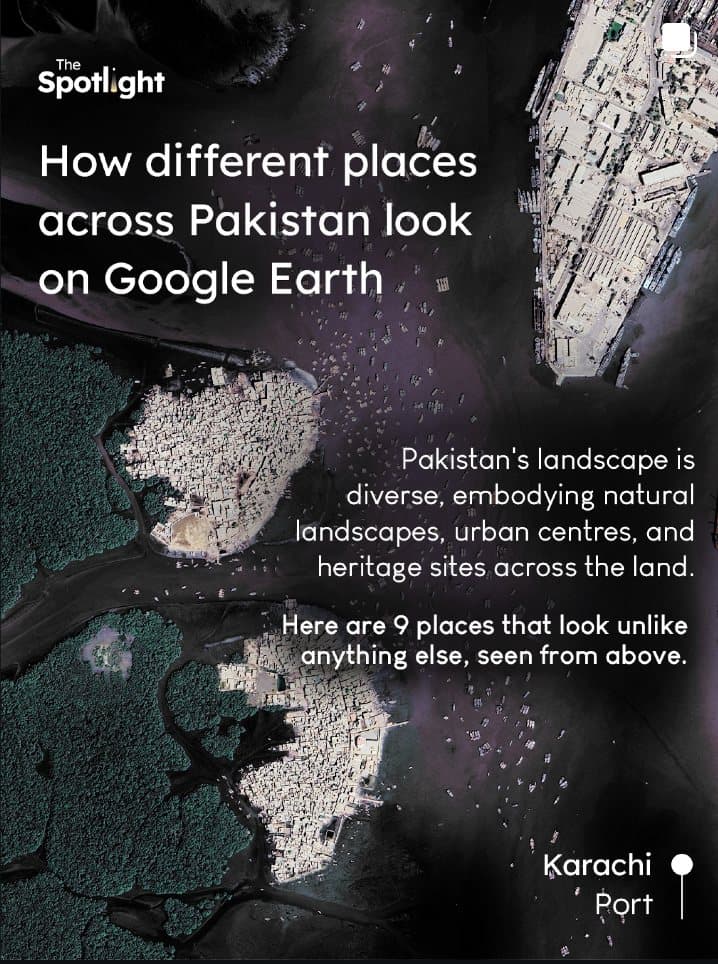
Story
Nine places that look unlike anything else when the view moves straight up.
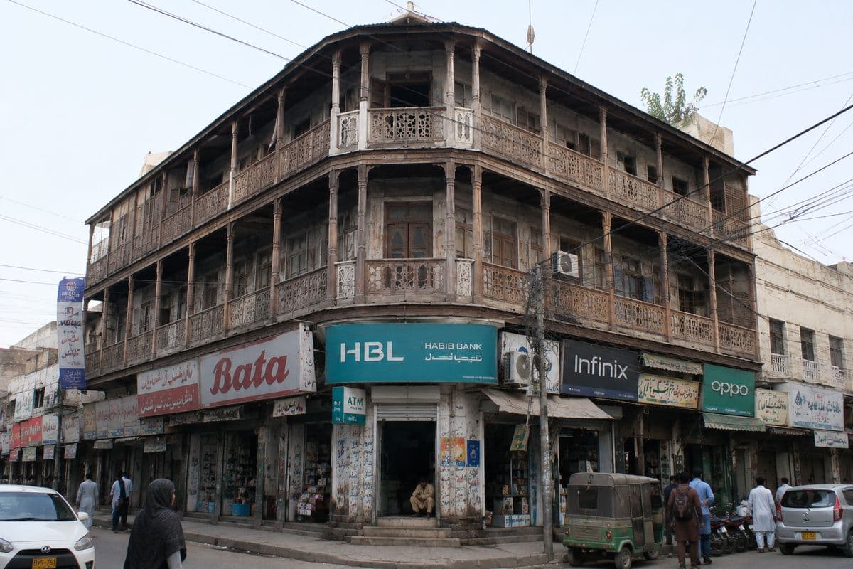
Experience
The same wooden-balconied corner building, photographed twice. Move between the frames and the difference is entirely in the ground floor.