GeographyCities
How different places across Pakistan look from above
Pakistan's landscape holds natural systems, dense urban centres and heritage sites in close company. Seen from directly overhead, several of them stop looking like places and start looking like drawings.
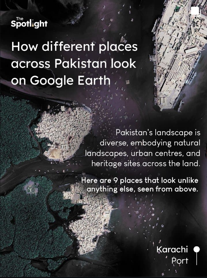
From above, a country stops behaving like a map in a textbook. It becomes geometry: river braids, gridded fields, brown edges, bright settlements and the stubborn lines people draw across land.
The river as a spine
Follow the Indus and the country reads like a long civic sentence — glacier, dam, barrage, canal, field, delta. Each of those is a decision, and each one is legible from orbit.
The field as design
Agriculture appears as pattern: rectangles, soft edges and the human will to make water behave. The shape of a field is the shape of a water right.
The city as circuitry
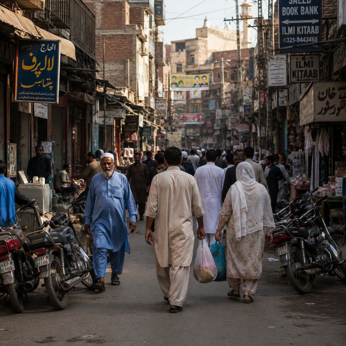
Dense neighbourhoods and arterial roads form networks that show where public life keeps moving. Zoom out far enough and a city looks less like buildings than like traffic.
Height is a form of editing. It removes everything except the decisions.
Stay up to date with our monthly drops
Sign up for our Khabarnama newsletterKeep reading
Story
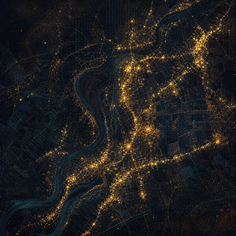
Pakistan at night
Roads, markets and settlements read differently once the only thing left is light.
Quiz
Which Pakistani city matches your pace?
Late nights or early trails, the sea or the old lanes: ten questions about your rhythm, and four places that share it.